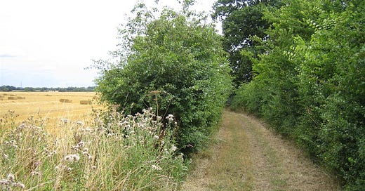
Walking the Anglo-Saxon Hundred Lanes
They still carve through the landscape and can be walked even a thousand years after the Anglo-Saxons created them
Boundaries between ancient Suffolk land divisions still exist in the form of Hundred Lanes. Their ditches still carve through the landscape and can be walked even now, a thousand years after the Anglo-Saxons created them.
Rivers, drainage ditches, moats and ancient parish boundaries all contribute to a vast network of ditches across Suffolk, such that Abbo, St Edmund’s chronicler, described the Kingdom of East Anglia as ‘water-girdled’. It is generally assumed that the southern boundary of the Kingdom was defined by the River Stour, but it is also possible that the rivers Lark and Gipping defined the boundary, forging a navigable corridor between Bury and Ipswich. If this were the case, Bury would have been at the very edge of the kingdom.
Keep reading with a 7-day free trial
Subscribe to Mark Nemglan to keep reading this post and get 7 days of free access to the full post archives.


